











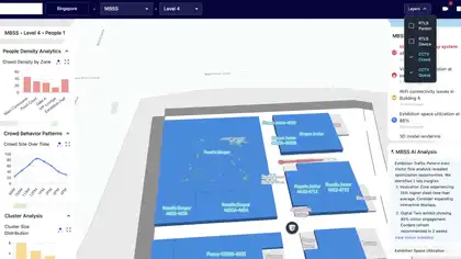
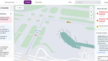
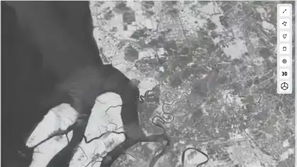
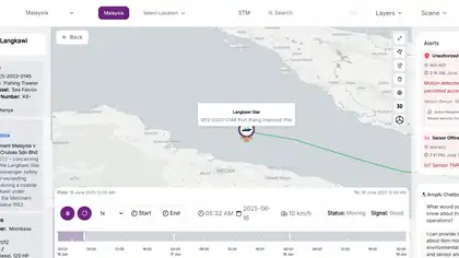




Interactive mapping
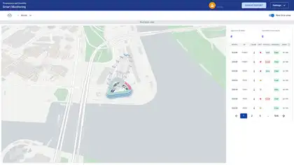
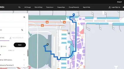
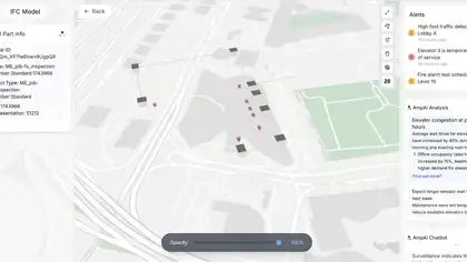
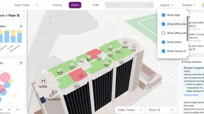
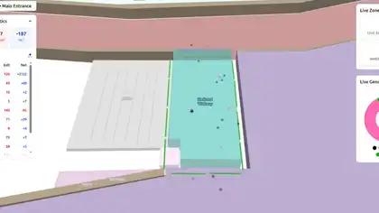
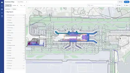
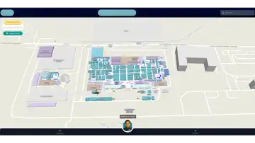
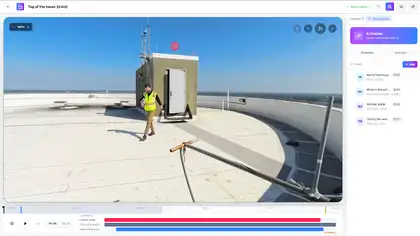
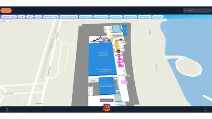
Spatial information is presented through an interactive map built for intuitive exploration.
Case study — Digital Experience
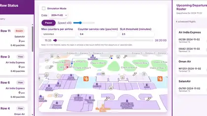
Browser-based digital twin for simulating check-in passenger flows, counter queues, and SLA choke states on interactive airport maps.
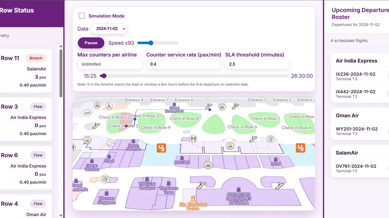
Browser-based digital twin for simulating check-in passenger flows, counter queues, and SLA choke states on interactive airport maps.
Enabled data-driven replay of departure schedules (Changi and Kolkata/CCU pipelines). Visualized passenger density, routes, and counter choke on an interactive map. Bridged operational flight data with indoor routing and taxonomy-based map objects. Provided a foundation for digital twin scenarios: capacity planning, SLA tuning, and terminal what-if analysis.
Airport operators and planners lack a unified way to replay real schedule data, visualize passenger movement on terminal maps, and stress-test check-in capacity and service-level agreements before operational changes.
Built a reusable simulation engine with an airport domain layer that ingests flight forecast data, spawns passengers over time, routes them across map geometry via the Meta Atlas SDK, and renders live queue and SLA state on MapLibre GL.
The experience combines React, TypeScript, Vite, MapLibre in a responsive system designed to stay clear, fast, and reliable across devices.
Enabled data-driven replay of departure schedules (Changi and Kolkata/CCU pipelines). Visualized passenger density, routes, and counter choke on an interactive map. Bridged operational flight data with indoor routing and taxonomy-based map objects. Provided a foundation for digital twin scenarios: capacity planning, SLA tuning, and terminal what-if analysis.
Spatial information is presented through an interactive map built for intuitive exploration.
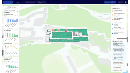
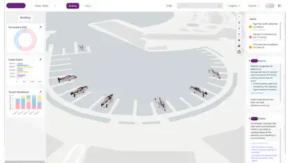
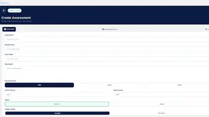
Operational dashboards turn system activity into clear, actionable insights.
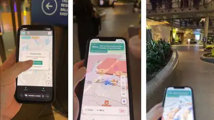
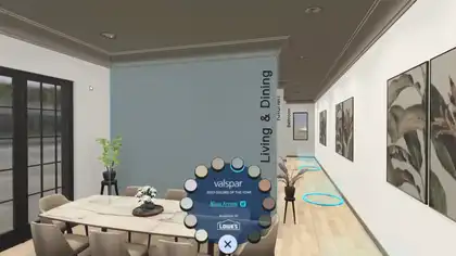
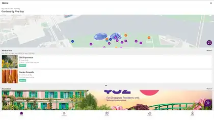
Guided navigation helps users move confidently through complex indoor environments.
The system runs in the browser, reducing setup friction across supported devices.
Navigation is built into the system as a core user-facing capability.
Monitoring is built into the system as a core user-facing capability.
Enabled data-driven replay of departure schedules (Changi and Kolkata/CCU pipelines). Visualized passenger density, routes, and counter choke on an interactive map. Bridged operational flight data with indoor routing and taxonomy-based map objects. Provided a foundation for digital twin scenarios: capacity planning, SLA tuning, and terminal what-if analysis.
 Project TeamSaailverse case study
 Next ProjectInteractive 3D & Fluid Animation Demo CollectionData Visualization