











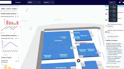



Interactive mapping
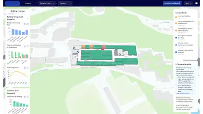
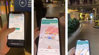
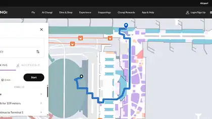
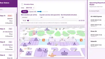
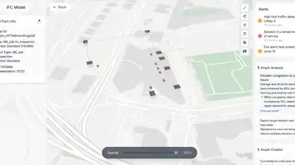
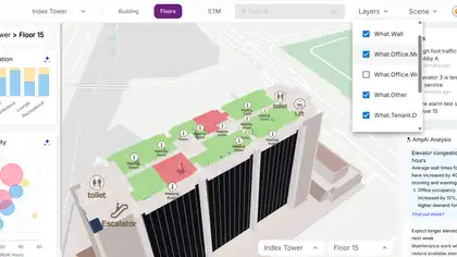
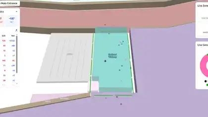
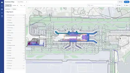
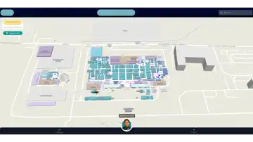
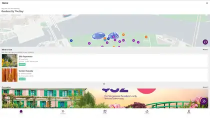
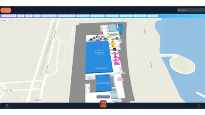
Spatial information is presented through an interactive map built for intuitive exploration.
Case study — Digital Experience
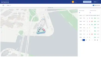
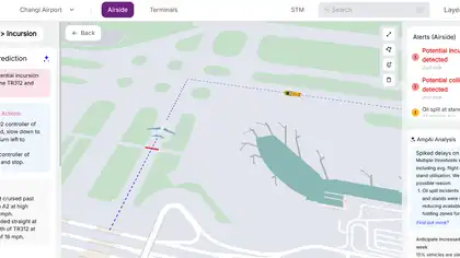
Real-time airside safety monitoring and collision detection simulation platform.
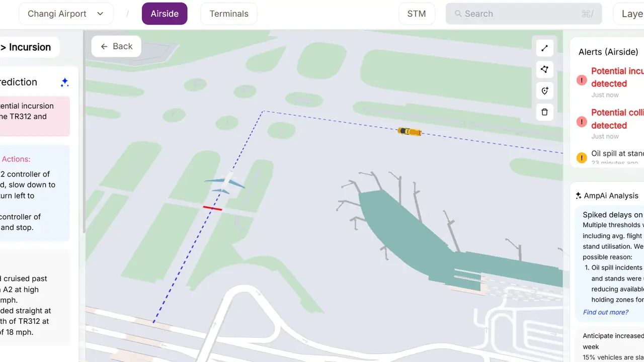
Real-time airside safety monitoring and collision detection simulation platform.
Improved situational awareness for airside operational safety. Enabled real-time monitoring of aircraft and vehicle interactions. Provided predictive visualization of collision risks. Enhanced operational training and simulation workflows.
Airside operations involve constant movement of aircraft and ground vehicles, making collision prevention and incursion monitoring operationally critical. Traditional systems often lack intuitive real-time visualization and predictive interaction monitoring.
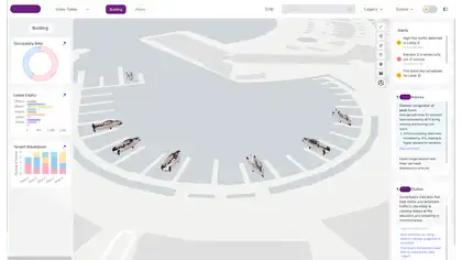
Developed a MapLibre-based simulation and monitoring platform capable of tracking aircraft and ground vehicles in real time while detecting potential collision or incursion scenarios using spatial analysis and movement prediction.
The experience combines MapLibre, React, TypeScript, WebGL in a responsive system designed to stay clear, fast, and reliable across devices.
Improved situational awareness for airside operational safety. Enabled real-time monitoring of aircraft and vehicle interactions. Provided predictive visualization of collision risks. Enhanced operational training and simulation workflows.
Spatial information is presented through an interactive map built for intuitive exploration.
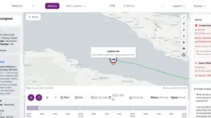
Live information keeps the experience current and supports timely decisions.
Operational dashboards turn system activity into clear, actionable insights.
The experience remains accessible and consistent across supported devices and screen sizes.
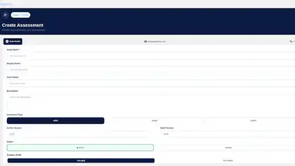
Structured forms simplify data collection and guide users through complete submission workflows.
Monitoring is built into the system as a core user-facing capability.
Improved situational awareness for airside operational safety. Enabled real-time monitoring of aircraft and vehicle interactions. Provided predictive visualization of collision risks. Enhanced operational training and simulation workflows.
 Project TeamSaailverse case study
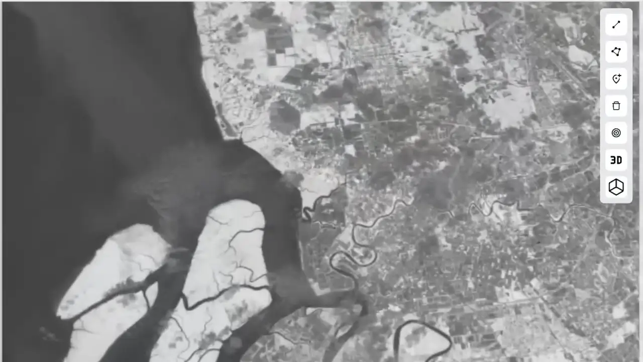 Next ProjectCOG Map Overlay & Layer Control SystemData Visualization