











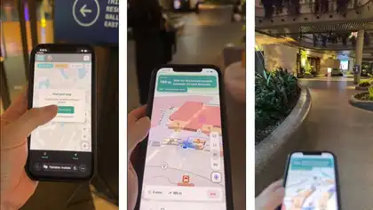
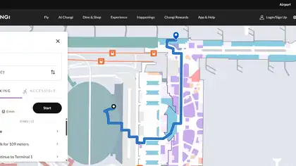

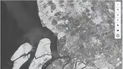
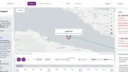
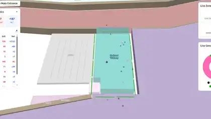
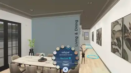
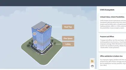

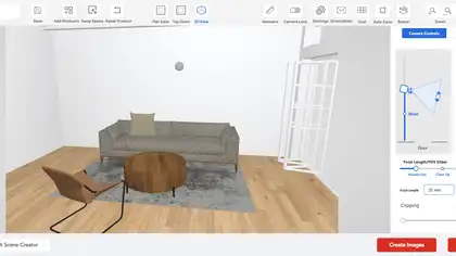
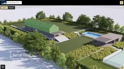
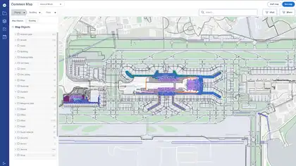


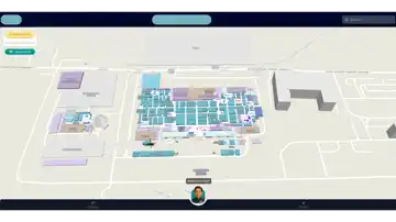
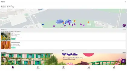
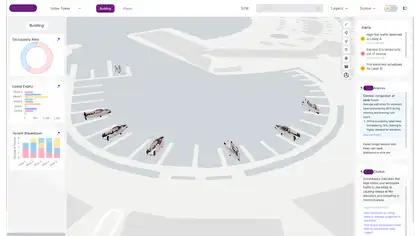
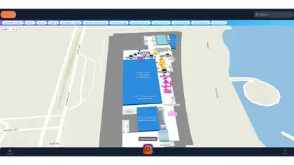

Interactive mapping
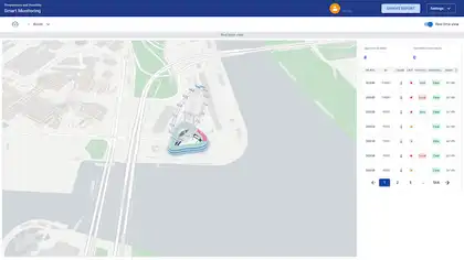
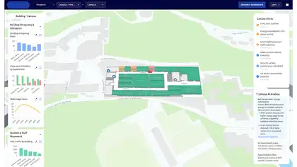
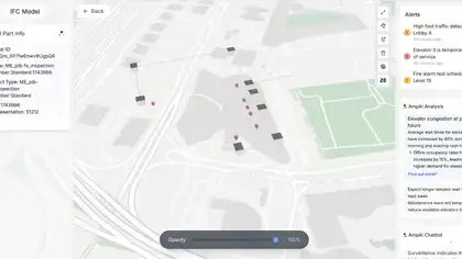
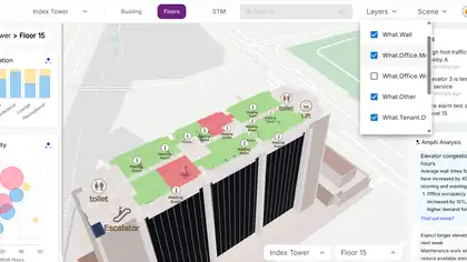
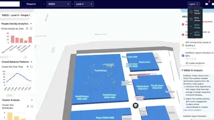
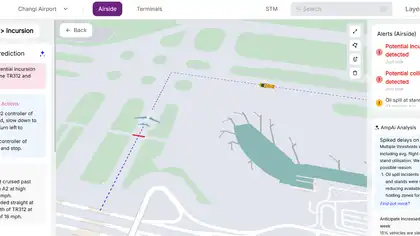
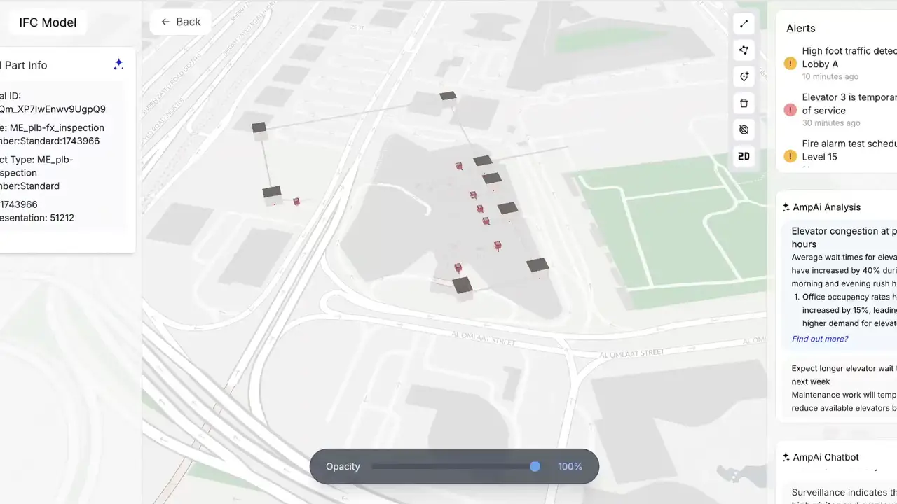
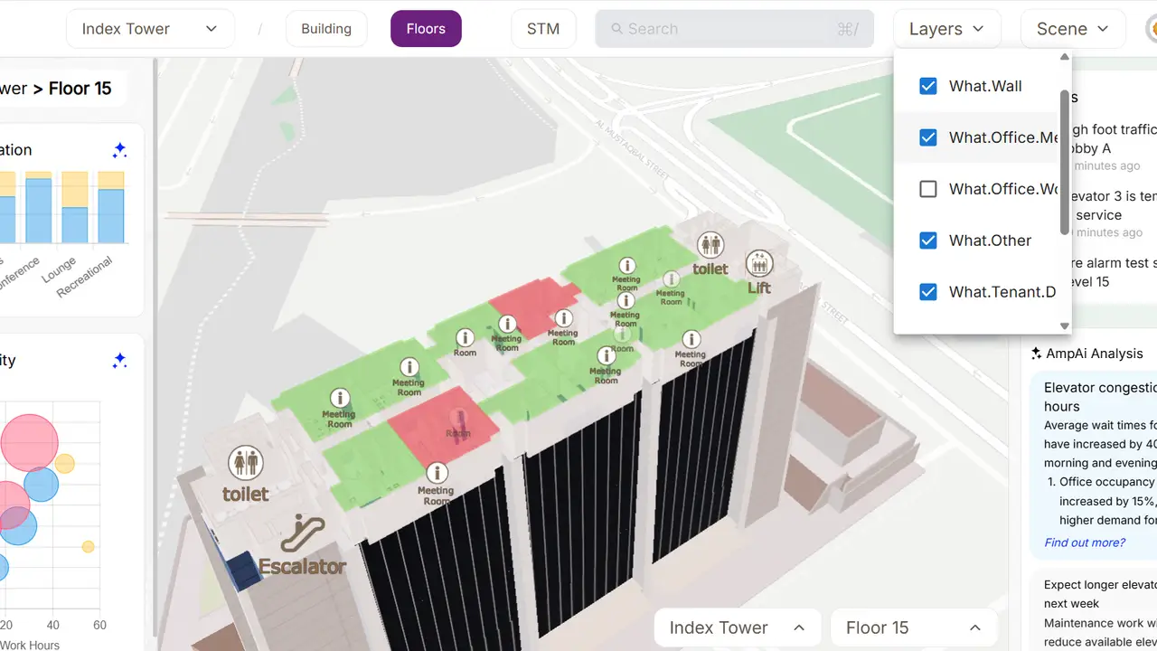
Spatial information is presented through an interactive map built for intuitive exploration.
Case study — Digital Experience
BIM-to-GIS visualization platform for integrating IFC building models directly into interactive web maps.
BIM-to-GIS visualization platform for integrating IFC building models directly into interactive web maps.
Bridged BIM and GIS visualization workflows. Improved contextual understanding of building assets. Enabled browser-based IFC visualization integrated with maps. Supported digital twin and infrastructure visualization use cases.
AEC and infrastructure teams often struggle to combine BIM models with geospatial systems, resulting in disconnected workflows between building information and GIS visualization environments.
Developed a BIM-GIS integration system capable of rendering Industry Foundation Classes (IFC) models directly on top of MapLibre GL maps, enabling interactive spatial visualization of building models within real-world geospatial contexts.
The experience combines MapLibre, Three.js, React, TypeScript in a responsive system designed to stay clear, fast, and reliable across devices.
Bridged BIM and GIS visualization workflows. Improved contextual understanding of building assets. Enabled browser-based IFC visualization integrated with maps. Supported digital twin and infrastructure visualization use cases.
Spatial information is presented through an interactive map built for intuitive exploration.
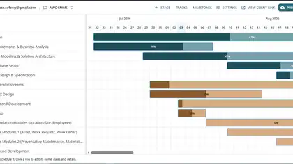
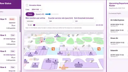
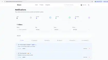
Operational dashboards turn system activity into clear, actionable insights.
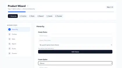
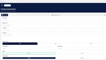
Structured forms simplify data collection and guide users through complete submission workflows.
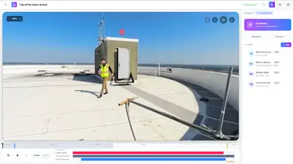
Monitoring is built into the system as a core user-facing capability.
Bridged BIM and GIS visualization workflows. Improved contextual understanding of building assets. Enabled browser-based IFC visualization integrated with maps. Supported digital twin and infrastructure visualization use cases.
 Project TeamSaailverse case study
 Next ProjectDeckGL Advanced Visualization SystemData Visualization